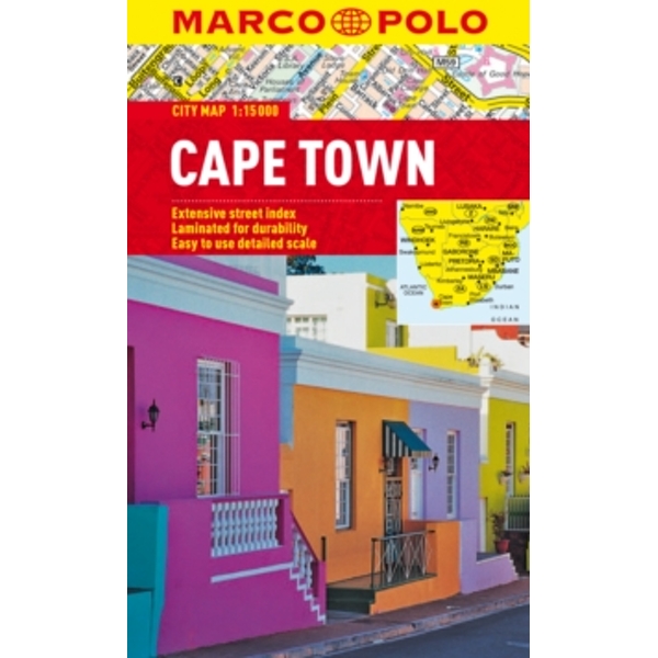
Cape Town Marco Polo City Map by Marco Polo (Sheet map, folded, 2012)
Marco Polo Cape Town City Map: the ideal map for your trip. Let the Marco Polo city map of Cape Town guide you around this wonderful city. Highly durable and waterproof, this handy, pocket-size Cape Town map folds away easily and is always on standby to help when you’re stuck., Laminated finish – waterproof, durable and tear-resistant. This hard-wearing, little pocket map of Cape Town will withstand lots of folding and refolding. Pocket format – the handy, light-weight, pocket-size format contains huge coverage of Cape Town., Easy to use – the super clear mapping in strong colours and clear text will help you navigate the city like a local. Public transport maps – there is a map of the metro rail in Cape Town so you can easily find your way around the city. Detailed scale – the scale is 1 : 15 000 showing you even the smallest of streets., Practical tourist information – Marco Polo’s favourite top 10 sights are highlighted and cross-referenced to the map for ease of use. Theatres, concert halls, shopping destinations, museums, art galleries, churches and parks are also listed and cross-referenced. Ideal for short break, fly-drive and package holidays., Extensive street index. Coverage includes – from Green Point and Table Bay in the north, west to Clifton Bay, east to Pinelands and south as far as Bishopscourt. In addition there is a detail map of Cape Town city centre., Trust Marco Polo’s clear mapping and thorough street index to guide you around the stunning city of Cape Town.


